Have a photo from this spot?
Add one for private review. Approved photos do not publish automatically.
Staffordville Reservoir
Stafford, Connecticut
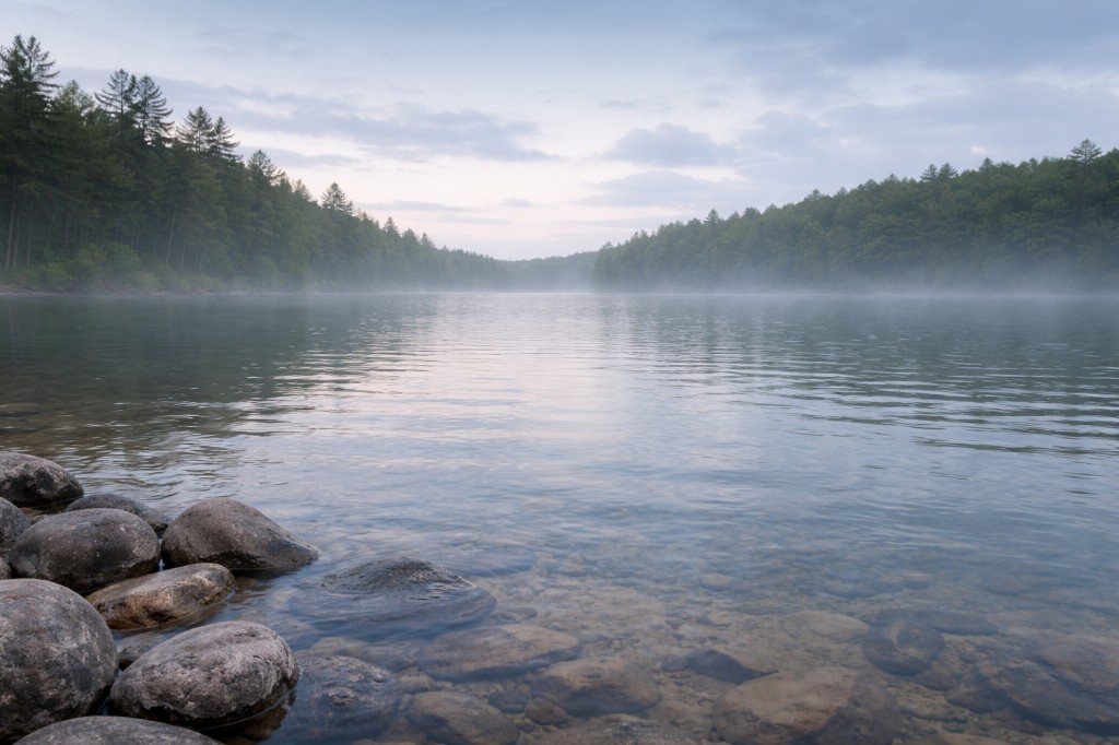
108-acre millpond on Morey Brook in Stafford. Unofficial causeway swim — roadside, no beach, no lifeguard.
Swim access
Water condition
At a glance
Crowd level
Moderate
Walk time
roadside
Trail difficulty
1 / 5 Easy
Parking ease
Easy
Dog policy
Check posted rules
Access type
Day-use area
Overview
Staffordville Reservoir is a 108-acre millpond on Morey Brook in the Quiet Corner. Locals fish and swim from the Buckley Highway causeway; no official beach. Roadside access only.
- Also known as
- Staffordville Pond
- County
- Tolland
- Region
- Quiet Corner
- Water type
- Lake
- Swim feature type
- Lake beach
Know before you go
Editorial tags
ReservoirMillpondQuiet cornerTolland countyStaffordRoadside easy
Good for
SwimmingPaddling kayakPaddling canoeFishing bassBirdwatching
Land ownership
Public
Watch for
No lifeguard
Roadside hazard
Algae advisories past
Boat traffic
Submerged weeds
Conditions
Conditions snapshot
Check posted signs and official updates before entering.
Getting there
Arrival points
Parking + Trailhead + Attraction
42.00498, -72.25678
Parking: Lot · Easy · Trailhead: 0.0 mi · roadside · 1 / 5 Easy · Mixed surface · Attraction: Lake · Lake beach · Swim viewing only
Arrival directions
Take Route 190 (Buckley Highway) east from Stafford Springs. The reservoir flanks the road west of Staffordville village.
0.0 miShort walkMixedLot696 ft20 ft gain
Parking notes: Gravel shoulder pull-offs along Buckley Highway — room for four or five cars; watch passing trucks.
Notes unlock when you sign in.
See what other visitors noticed, or be the first to leave a short note.