Have a photo from this spot?
Add one for private review. Approved photos do not publish automatically.
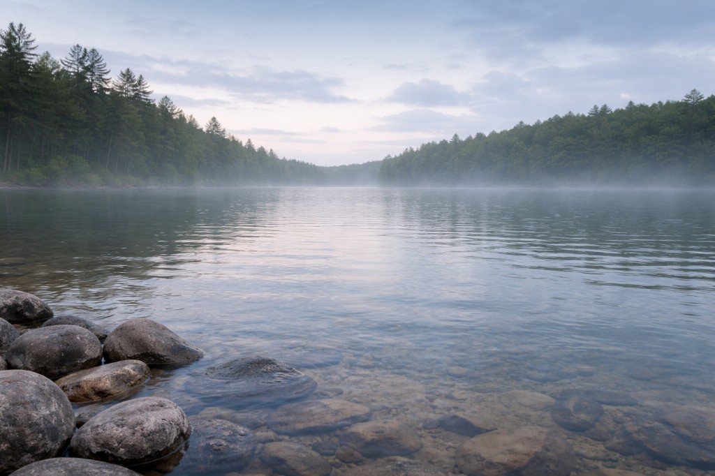
Deboullie Public Lands
North Maine Woods, Maine
A 21,871-acre remote trout-pond and trail reserve in Aroostook County's North Maine Woods. Access via logging roads and NMW gates.
At a glance
Overview
Deboullie Public Lands is a 21,871-acre remote trout-pond reserve in Aroostook County's North Maine Woods, with seventeen clear trout ponds and a thirty-mile trail network around Deboullie, Pushineer, Gardner, and Black ponds. Access is through private logging roads and North Maine Woods checkpoints with day-use and camping fees. This is a remote fishing, hiking, and paddle destination; cell service is unreliable.
- Also known as
- Deboullie Public Reserved Land, Deboullie Mountain area
- County
- Aroostook
- Region
- Aroostook County
- Water type
- Waterfall
- Waterfall type
- Cascade
Know before you go
Public
Conditions
Conditions snapshot
Check posted signs and official updates before entering.
Getting there
From the north, take Route 161 to the St. Francis checkpoint, then go about 8 miles south on St. Francis Road. From the south, take Route 11 to Portage, onto West Road, past the Fish River checkpoint, then Hewes Brook Road to the T15 R9 / Red River Road. Deboullie Pond trailheads sit at the east end of the pond.
Notes unlock when you sign in.
See what other visitors noticed, or be the first to leave a short note.