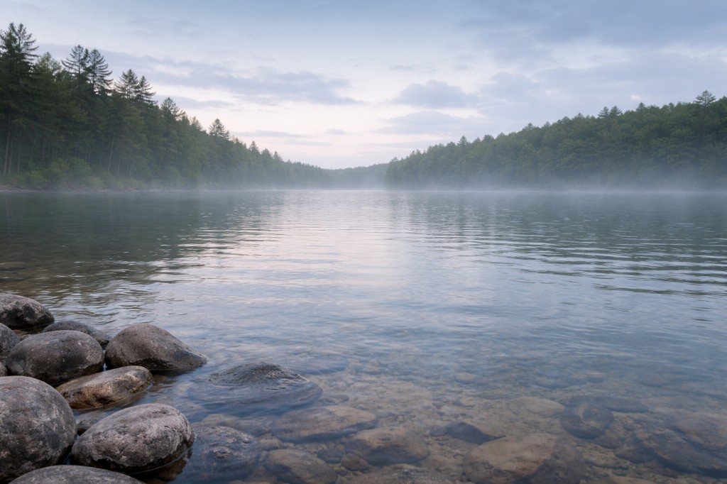
Have a photo from this spot?
Add one for private review. Approved photos do not publish automatically.
Debsconeag Falls
T2 R10, Maine
A rough West Branch Penobscot stretch in the Debsconeag Lakes area of T2 R10, south of Baxter State Park.
At a glance
Overview
Debsconeag Falls is a rough stretch of the West Branch of the Penobscot River in unorganized T2 R10 WELS, in the Debsconeag Lakes area south of Baxter State Park. This is remote canoe / rafting country rather than a roadside stop; the falls reference a drop inside the Debsconeag Deadwater system. Treat the area as a guided whitewater / backcountry zone.
- Also known as
- Debsconeag Lakes area
- County
- Piscataquis
- Region
- The Maine Highlands
- Water type
- Waterfall
- Waterfall type
- Cascade
Know before you go
Conditions
Conditions snapshot
Check posted signs and official updates before entering.
Getting there
Access is water- or logging-road based off the Golden Road corridor south of Baxter State Park. Most people see this stretch on a guided West Branch Penobscot trip; self-guided visits need current road and river-condition info.
Notes unlock when you sign in.
See what other visitors noticed, or be the first to leave a short note.