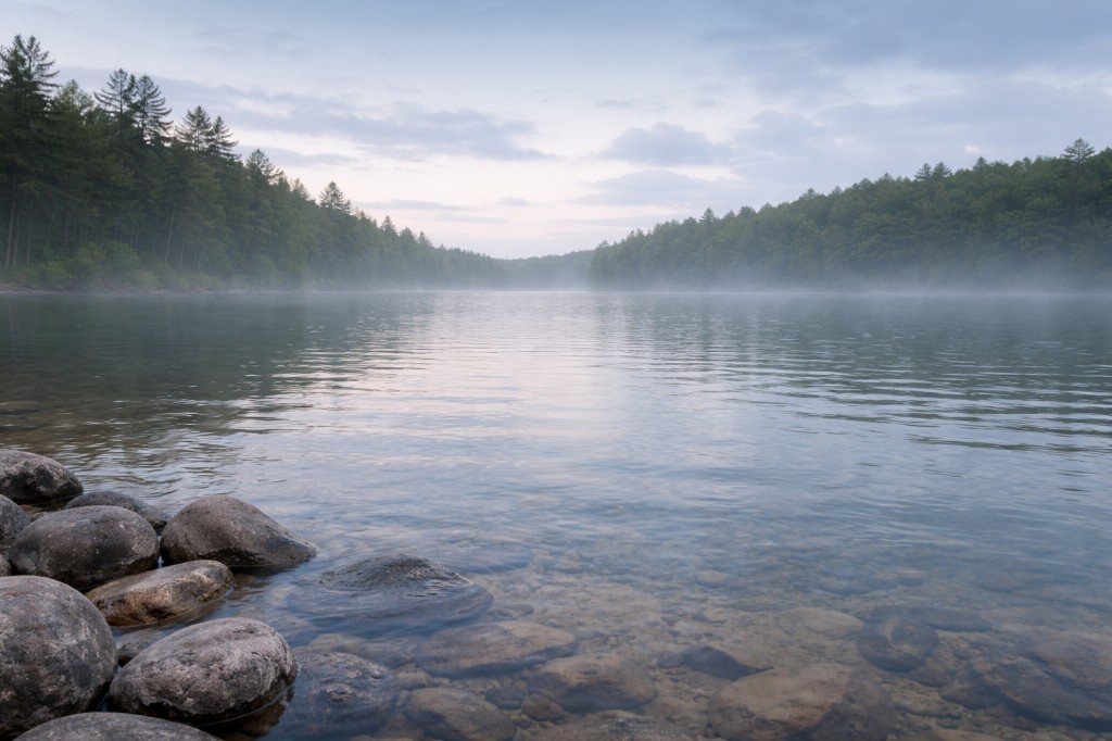
Have a photo from this spot?
Add one for private review. Approved photos do not publish automatically.
Barre Falls · Barre Falls Dam
Barre, Massachusetts
USACE flood-control dam on the Ware River between Barre and Hubbardston. Recreation area with disc golf, picnic, and trail access; not a natural waterfall.
At a glance
Overview
Barre Falls Dam is a US Army Corps of Engineers flood-control dam on the Ware River, on the Barre / Hubbardston line. The USACE recreation area around it has a disc golf course, picnic area, and hiking connections to the Ware River Rail Trail and Midstate Trail. The dam itself is not a natural waterfall — discharge is controlled and typically light; there is no swim access near the spillway.
- Also known as
- Barre Falls Dam Recreation Area, Barre Falls
- County
- Worcester
- Region
- Central Massachusetts
- Water type
- Waterfall
- Waterfall type
- Plunge
Know before you go
Public
Conditions
Conditions snapshot
Check posted signs and official updates before entering.
Getting there
From Route 62 in Barre, follow Coldbrook Road to the signed USACE Barre Falls Dam entrance. Use the recreation-area lot near the picnic area and disc golf course.
Notes unlock when you sign in.
See what other visitors noticed, or be the first to leave a short note.