Have a photo from this spot?
Add one for private review. Approved photos do not publish automatically.
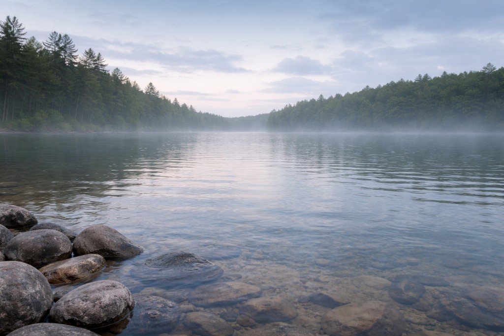
Trap Falls
Ashby, Massachusetts
Small rocky cascade on Trapfall Brook, off Route 119 in Willard Brook State Forest. Short walk from the DCR lot.
At a glance
Overview
Trap Falls is a small rocky cascade on Trapfall Brook in Willard Brook State Forest, right off Route 119 in Ashby. A short, flat path from the DCR roadside parking drops you into a hemlock pocket at the falls. It is a quick DCR stop, not a swim — the basin is shallow and rocky, and the brook runs in pulses after rain.
- Also known as
- Trapfall Brook Falls
- County
- Middlesex
- Region
- Central Massachusetts
- Water type
- Waterfall
- Waterfall type
- Cascade
Know before you go
Public
Conditions
Conditions snapshot
Check posted signs and official updates before entering.
Getting there
On Route 119 in Ashby, watch for the Willard Brook State Forest Trap Falls pull-off. Take the short marked path down into the hemlock pocket; the cascade sits just below the road.
Notes unlock when you sign in.
See what other visitors noticed, or be the first to leave a short note.