Vermont · Swimming Holes
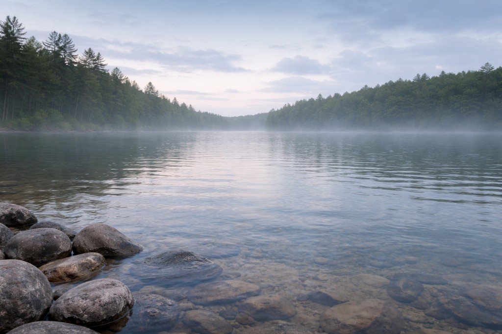
Cady Falls Swimming Hole
Swim: allowed. Find & Go Seek lists coordinates near Morrisville on the Lamoille with parking noted; access is commonly described from the Cadys Falls / iron bridge area with a short bank approach. Confirm current parking signs and respect posted riverbank land. Lamoille ledges and slicks—ledge jumping is hazardous without a careful depth check. Cold moving water; no lifeguards. After high water, currents and debris increase quickly.
Shallow cascades and ledges on the Lamoille at Morrisville’s Cadys Falls reach.
Morrisville · Lamoille County
Photo to follow
First Time Here
Find & Go Seek lists coordinates near Morrisville on the Lamoille with parking noted; access is commonly described from the Cadys Falls / iron bridge area with a short bank approach. Confirm current parking signs and respect posted riverbank land.
Lamoille ledges and slicks—ledge jumping is hazardous without a careful depth check. Cold moving water; no lifeguards. After high water, currents and debris increase quickly.
Flow, posting, and neighbor context change with the season—use this page as orientation, then verify on site.
Should You Go
Good for
- Visitors comfortable with cold moving water and natural, uneven footing
- Groups that will read Conditions then still judge each access on site
- People willing to follow posted access and neighbor context
Skip if
- You need lifeguards or a managed pool
- High water or storms make you uneasy—wait for another day
- You want lifeguarded water and zero ambiguity about rules before you arrive
Safety on site
Lamoille ledges and slicks—ledge jumping is hazardous without a careful depth check. Cold moving water; no lifeguards. After high water, currents and debris increase quickly. This guide is independent—posted rules and land managers always win; verify access the day you visit.
Map & Trail
Find & Go Seek lists coordinates near Morrisville on the Lamoille with parking noted; access is commonly described from the Cadys Falls / iron bridge area with a short bank approach. Confirm current parking signs and respect posted riverbank land. Use driving directions to reach the Cadys Falls / iron-bridge neighborhood, then walk the bank you intend to use—coordinates are for the road context, not mid-river.
- Natural river access—footing and posting change with season and weather.
- Confirm trail names, distances, and seasonal closures against official sources when you can.
Gallery
No imagery yet
This guide does not include on-site photography yet. When rights-cleared photos are added to the Place object, they will appear here. We do not use stock images as stand-ins for real places.