Have a photo from this spot?
Add one for private review. Approved photos do not publish automatically.
Clarendon Gorge
Clarendon, Vermont
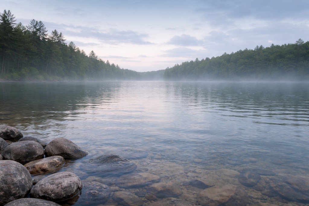
Gorge pools. Roadside pull-off access—use the shoulder safely and watch traffic. Near Clarendon.
At a glance
Overview
Mill River Lower Clarendon Gorge on Vermont FPR land—Gorge Road parking context, old roadbed approach, cold water and ledge hydraulics. Swim: not recommended…
- County
- Rutland County
- Water type
- Gorge
- Swim feature type
- Gorge pool
Know before you go
Public
Not wheelchair accessible
Conditions
Conditions snapshot
Check posted signs and official updates before entering.
Getting there
Lower Clarendon Gorge is on the Mill River in Clarendon. From Route 7 south of Rutland, turn east (from the north: left onto Route 103, then almost immediately right onto Route 7B south; drive 1.9 miles and turn left onto Gorge Road. From the south: from Route 7 / VT 140 intersection, go 3.1 miles north on Route 7 and turn right onto Gorge Road). Follow Gorge Road about 0.3 miles to a wide shoulder pull-off; park completely out of the traveled lane. Walk south on the old abandoned roadbed to reach the Mill River and the gorge pools. The Appalachian Trail suspension bridge that crosses the river at the gorge is CLOSED due to structural failure and is not safe to use -- hikers have been cited for attempting to cross it.
Notes unlock when you sign in.
See what other visitors noticed, or be the first to leave a short note.