Have a photo from this spot?
Add one for private review. Approved photos do not publish automatically.
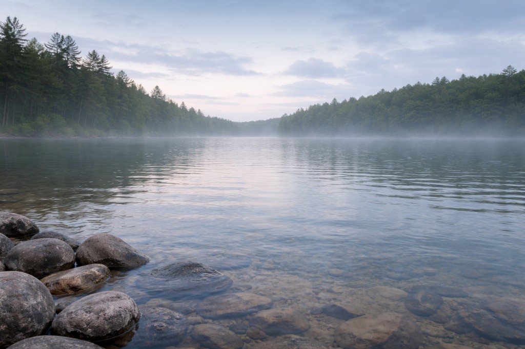
East Middlebury Gorge
Middlebury, Vermont
Gorge pools. Roadside pull-off access—use the shoulder safely and watch traffic. Near Middlebury.
At a glance
Overview
Otter Creek gorge at the VT-125 bridge corridor—informal shoulder context, not a staffed beach; cold water and slick bedrock. Swim: not recommended. Road map…
- County
- Addison County
- Water type
- Gorge
- Swim feature type
- Gorge pool
Know before you go
Not wheelchair accessible
Conditions
Conditions snapshot
Check posted signs and official updates before entering.
Getting there
East Middlebury Gorge is an unofficial but well-known swim on the Middlebury River directly below the VT 125 bridge in East Middlebury. From Middlebury, take US 7 south and bear left onto VT 125 East toward the Middlebury Snow Bowl; drive about 1.1-1.5 miles past the US 7 junction and look for the small dirt pull-off on the right immediately after the first bridge over the Middlebury River. From the pull-off, follow the rough woods road/path downstream with the river on your right to reach the pools, potholes, and slide channels -- there is NO maintained trail, and reaching most of the good water requires rock scrambling, hand-over-hand descents, and occasionally wet feet. VT 125 is narrow with sharp curves here; do not stop or park in the travel lane.
Notes unlock when you sign in.
See what other visitors noticed, or be the first to leave a short note.