Have a photo from this spot?
Add one for private review. Approved photos do not publish automatically.
North Hartland Falls
Hartland, Vermont
Forest cascade. Roadside pull-off access—use the shoulder safely and watch traffic. Near Hartland.
At a glance
Overview
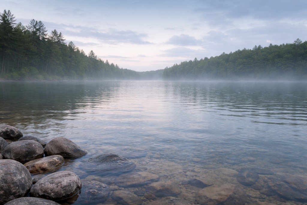
Forest cascade. Plan for about A few minutes from the lot to the sandy beach. (0.1 mi one way if you hike the full approach). Most visitors come for the view; swimming may be limited or not allowed.
- Region
- Upper Valley
- Water type
- Waterfall
- Waterfall type
- Cascade
Know before you go
Not wheelchair accessible
Conditions
Conditions snapshot
Check posted signs and official updates before entering.
Getting there
This page stores a waterfall-style slug but the public-facing site at this coordinate is the U.S. Army Corps of Engineers North Hartland Lake recreation area on the Ottauquechee River at 112 Clay Hill Road, North Hartland. The reservoir sits behind a 182-foot earthen flood control dam completed in 1961; the 'falls' section of the river sits below the dam and is not an open swim. The public beach on the lake is the designated swim. Amenities include a sandy swim beach with portable toilets, a concrete boat ramp, three reservable picnic shelters, a nature trail, play fields, and volleyball courts. Swimming is at your own risk and unsupervised, the lake is stocked annually for fishing, and the recreation area typically closes after Labor Day and can close during severe storm response. Pets must be on a six-foot leash and are not allowed on the beach or on the lawn directly above it. From I-91 Exit 9, follow US 5 north to Clay Hill Road; park in the main lot and walk down to the beach.
Notes unlock when you sign in.
See what other visitors noticed, or be the first to leave a short note.