Freshwater Swimming in Connecticut's Quiet Corner
Bigelow Hollow and Mansfield Hollow lakes, Mashamoquet State Park, Natchaug River and State Forest access, Chaplin swim spots, plus Quinebaug and Ross Pond state-park beaches—northeast CT on one map.
Map of the picks

Quiet Corner is marketing language that still points at something real: Tolland and Windham counties carry more forest, pond, and brook texture per mile than the I-95 shore, and summer traffic often moves along Route 44 / Route 6 corridors toward lakes instead of salt water. That makes access planning more verbal, not less—state parks help, but river sand still needs scout-first behavior.
This page only links to guides on this site. It is not a substitute for DEEP postings, town beach stickers, or thunderstorm judgment.
- Bigelow Hollow State Park — Union, CT
- Mashamoquet State Park — Pomfret, CT
- Mansfield Hollow State Park — Mansfield, CT
- Natchaug State Forest — Eastford, CT
- Natchaug River — Chaplin, CT
- Chaplin Natchaug River Swimming Spots — Chaplin, CT
- Quinebaug Lake State Park — Killingly, CT
- Ross Pond State Park — Killingly, CT
Lakes first — Bigelow Hollow and Mansfield Hollow
Bigelow Hollow State Park in Union is the postcard Quiet Corner lake day: clear swim framing on the place page, conservative arrival pins, and the usual weekend lot honesty you should read before you promise a grill party.
Mansfield Hollow State Park in Mansfield offers a different shoreline personality—still a swimming-holes category page with lake language in the overview. Use it when Bigelow’s social density feels wrong for your group’s noise budget.
Mashamoquet — Pomfret pond culture with hiking context
Mashamoquet State Park in Pomfret blends pond swimming with the kind of short forest walking that rewards bug spray and real shoes. It is a strong pick when someone wants both a swim and a nature-center pace, not a highway rest area.
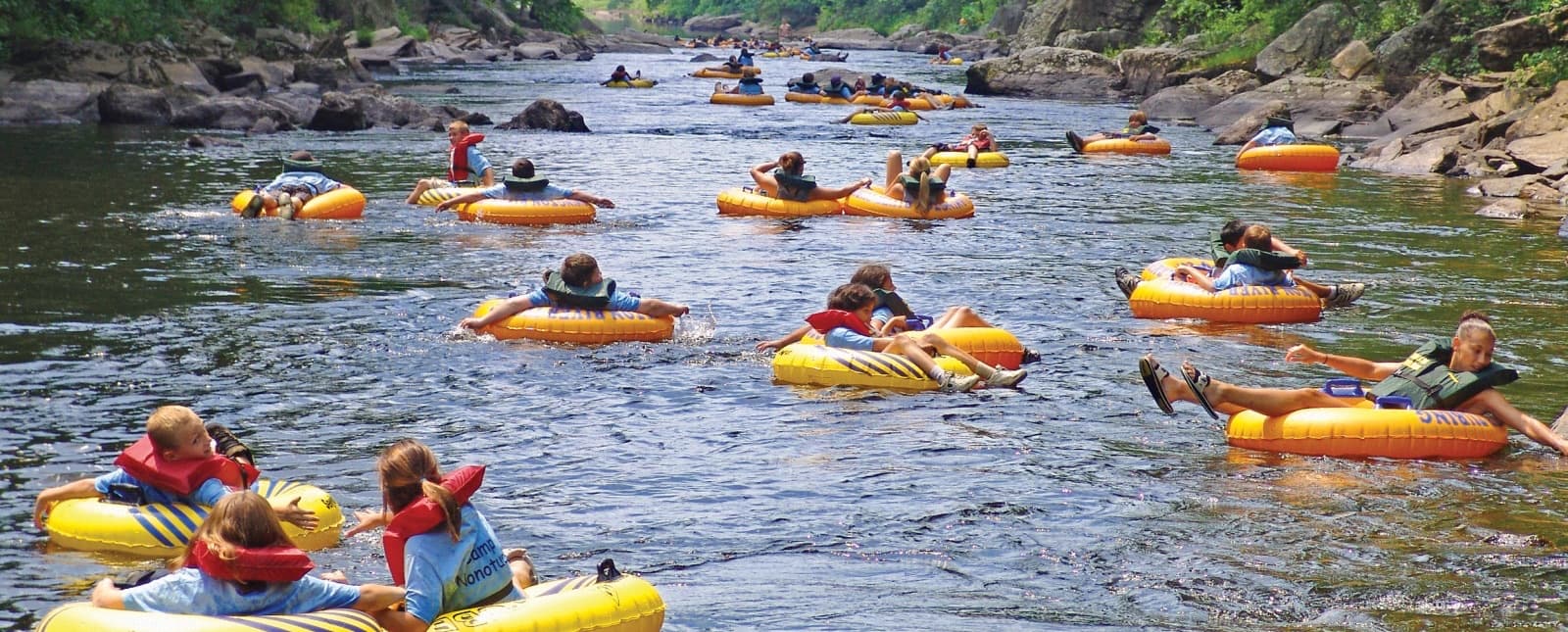
Natchaug River — three different ways the same valley shows up online
The Natchaug is long enough that access, current, and crowd can disagree mile by mile. This planner lists three complementary pins:
- Natchaug State Forest — Eastford forest access on a swimming-holes guide URL.
- Natchaug River — Chaplin corridor river pin for people who think in river name first.
- Chaplin Natchaug River Swimming Spots — a swimming-holes category page built for public-access swim planning language.
Why three? Because visitors Google different strings for the same Saturday. Your job is to open all three guides, compare pins, and pick the legal pull-off that matches your skill mix—not to treat “river” as a synonym for “rope swing everywhere.”
**Important: the Chaplin list page’s town field in older data can read like a broad regional label. Treat the map pin, photos, and your own eyes as the truth chain—if a sign or blog disagrees, believe what you see.
Killingly lake pair — Quinebaug and Ross Pond
Quinebaug Lake State Park and Ross Pond State Park are both Killingly pages with state-park beach culture: clearer fee language, more picnic infrastructure, and a useful pairing strategy when one lot hits capacity on a July Sunday.
Stewardship that keeps these places open
- River sand: pack out diapers and snack wrappers—they show at the tree line immediately.
- Noise: respect back-lot neighbors on narrow town roads; they live here when your vacation week ends.
- Pets: leash rules vary by park; default to conservative control near swim beaches.
- Thunder: leave the water entirely for the day if storms are stacking—forest gorges are a bad place to gamble on “just one more photo.”
Related guides
- Freshwater Swimming Near Danbury & Fairfield County — when Quiet Corner was the first leg and the second leg is Candlewood scale water.
- Swimming Holes Near Central Connecticut — shorter drives toward reservoir beaches when you need to pivot west.
Updated June 1, 2026