New England Swimming Holes
GuidesMapBrowse All SpotsAll SpotsMy Spots
New EnglandSwimming Holes

Find your next swim.

Explore

  • Browse all guides
  • Map
  • States

Resources

  • Stewardship

Stay in the loop

By state

VTNHMERIMACT

© 2026 New England Swimming Holes. All rights reserved.

Log in·Privacy Policy·Terms of Use·Disclaimer
  1. New England›
  2. Guides›
  3. Best Freshwater Swimming From Lake Sunapee & New London, New Hampshire (2026)

Best Freshwater Swimming From Lake Sunapee & New London, New Hampshire (2026)

Mount Sunapee State Park Beach, Dewey Beach in Sunapee village, Bucklin and Elkins in New London—Dartmouth–Lake Sunapee swim map with links to each NH guide.

Map of the picks

Map of the places in this guide. Numbers match the list; choose a pin for a short preview and a link to that place’s page.
  • 1Mount Sunapee State Park Beach
  • 2Dewey Beach
  • 3Bucklin Beach
  • 4Elkins Beach
Calm New Hampshire lake water on a warm summer afternoon.
Lower Ammonoosuc Falls pool and rocks in New Hampshire.
Covered bridge over a river with swimmers below.

Lake Sunapee draws big summer beach crowds at the state park gate while New London keeps smaller town beaches on Little Sunapee and Pleasant Lake. This page lines up four mapped swims so you can pick one primary beach and read fees, hours, and walk-in notes before you queue twice.

Each link opens a New Hampshire guide with its own shoreline pin. Windy lake days and full lots are common—build a second choice from the list before you leave cell service.

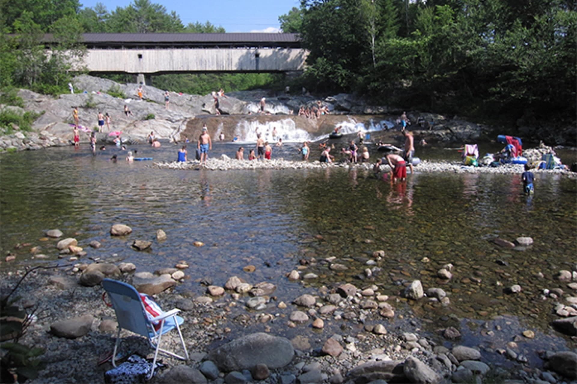
  1. Mount Sunapee State Park Beach — Newbury, NH
  2. Dewey Beach — Sunapee, NH
  3. Bucklin Beach — New London, NH
  4. Elkins Beach — New London, NH

This page links to on-site guides with parking and access detail. It is not legal or safety advice.

Quick answer

GoalFirst stop
Big public beach dayMount Sunapee State Park Beach
Walkable Sunapee village swimDewey Beach
Quieter New London shoreBucklin Beach
Pleasant Lake town beachElkins Beach

Also on the site

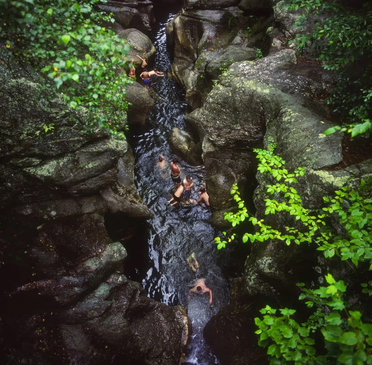
  • Waterfalls & swimming near Keene & the Monadnock region — different geography, still useful if your week crosses I-89.

Updated April 23, 2026

Keep planning

Choose what to explore next

Next is the closest other guide that also has mapped pins; Previous is the second closest. Miles are straight line between those map centers.

Previous guide←First Swim of the Year: Hardy Swimmers' Guide to April & Early May Cold-Water Spots9.1 mi awayNext guideWhat's Open Right Now: New England Waterfalls With Spring Flow (April 2026)1.7 mi away→

More New England guides

  • Berkshires — Otis & Monterey lakes
  • Middlebury & Bristol VT water
  • Ellsworth & Hancock County ME
  • Bangor & Highlands freshwater
  • Southern NH swim & falls
  • Farmington & Sandy River, Maine