Freshwater Escapes From Bangor, Orono & the Maine Highlands (2026)
Bangor and Four Mile falls, Orono falls and Pushaw lake landings, Sebasticook and East Newport ponds, Belfast Great Falls, Howe Brook, Milford Falls, Island Falls waterfall, and Upper Mattawamkeag—central Maine pins on one map.
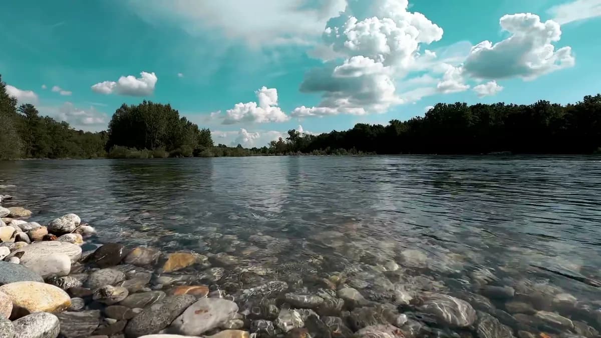
Map of the picks
Bangor and Orono sit on the Penobscot corridor where city-adjacent falls, Pushaw landings, and UMaine-area errands can share one summer afternoon. Newport, Corinna, and East Newport extend the map into the Sebasticook chain. Belfast adds a Waldo County river-falls stop, while Island Falls and Howe Brook become northern add-ons when I-95 is already part of the trip.
Each numbered link opens a Maine guide with its own access notes. Blackflies, logging trucks, long fuel gaps, and thunderstorm mud are normal Highlands variables. Read Howe Brook and Upper Mattawamkeag as serious drive pages, not city-park substitutes.
- Bangor Falls — Bangor, ME
- Four Mile Falls — Bangor, ME
- Orono Falls — Orono, ME
- Pushaw Lake (public landings) — Orono / Orono vicinity, ME
- East Pond (East Newport) — East Newport, ME
- Sebasticook Lake (Newport / Corinna) — Newport / Corinna, ME
- Great Falls (Belfast) — Belfast, ME
- Howe Brook Falls — T5 R9, ME
- Milford Falls — Milford, ME
- Island Falls (Island Falls) — Island Falls, ME
- Upper Mattawamkeag Lake (Island Falls) — Island Falls, ME
Use this page to choose a corridor, then open each linked guide for parking, access, and current safety notes before you drive.
Quick answer
- Campus-and-lake day: Pushaw plus Orono Falls when you want water without leaving the Orono radius.
- Big-lake swim day: Sebasticook and East Pond split chain-basin planning; read each guide’s landing notes before you choose a beach or ramp.
- Waterfall-first day: Bangor, Four Mile, Belfast Great Falls, and Milford keep drive times shorter than Howe Brook or Island Falls.
Map how to use it
Use the map to separate Penobscot valley pins from northern pins. When two waterfall icons look close on the map, still open both guides; approach length, road class, and parking can differ dramatically.
Stewardship
Central Maine freshwater depends on visitors respecting boat ramps, private shorelines, and working forest roads. Slow down for dust and pedestrians, carry out fishing line and food trash, and never block logging equipment, camp roads, or narrow bridges.
Updated June 1, 2026