Waterfalls & Swimming Holes Near Montpelier & Central Vermont
Wrightsville Reservoir beach district, Dog River Jacuzzi, Middlesex waterfall pins, Cox Brook and Moss Glen on Route 100, plus Warren Falls and Texas Falls picnic loop—capital-region water on one map.
Map of the picks
Montpelier is a small capital in a big watershed: the Winooski and Dog River threads collect mountain rain, spill through Middlesex and Northfield, then widen into reservoirs where summer boats share space with swimmers. That geography rewards flexible days—a district beach when you want predictable depth, a river jacuzzi when the group tolerates cold water, and Route 100 gorge stops when you want scenery even if swimming is not the point.
Use each linked guide for parking, access, and safety notes, then confirm current district, town, or Forest Service postings when you arrive.
- Wrightsville Reservoir — Middlesex / Montpelier area, VT
- Dog River Jacuzzi Natural Area — Berlin, VT
- Putnamville Falls — Middlesex, VT
- Riverton Falls — West Berlin, VT
- Northfield Falls — Northfield, VT
- Cox Brook Cascades — Northfield, VT
- Moss Glen Falls (Granville) — Granville, VT
- Texas Falls — Hancock, VT
- Warren Falls — Warren, VT
Reservoir mornings — Wrightsville Beach
Wrightsville Reservoir is the clearest open-water swim anchor near the capital: a district-managed beach on VT-12 with fees, season dates, and no-wake logic that actually matters to swimmers. Read the guide’s Wrightsville Beach Recreation District notes before you promise a holiday weekend parking spot.
If wind turns the main beach into chop, your day is not over—cross-shore moves and timing (earlier arrivals) are often more effective than chasing unofficial pull-offs.
Dog River — compact pool, real river behavior
The Dog River Jacuzzi Natural Area is a different animal: a short walk from a conservative parking pin, a plunge pool scale, and USGS trend context on the same river system that still is not a depth gauge at the rock. It shines when your group wants honest river texture without pretending you are at a quarry club.
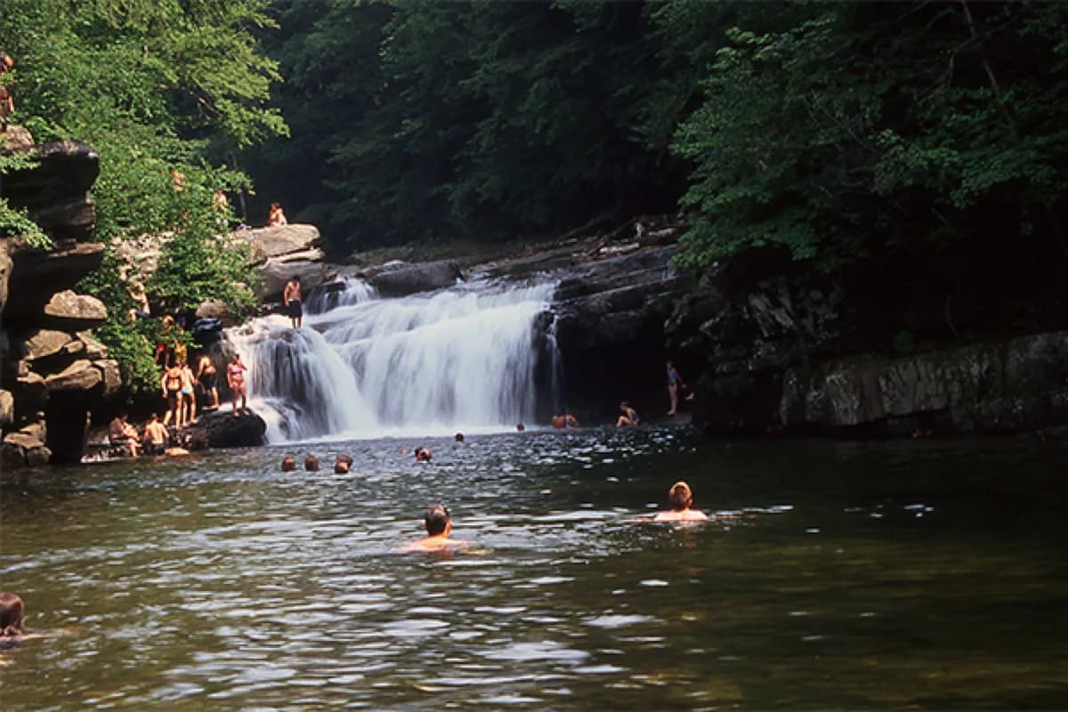
Middlesex and Northfield waterfall belt
Putnamville, Riverton, Northfield, and Cox Brook belong together because people already drive these valleys after work and on weekend errands. Treat them as small waterfall stops where parking, shoulders, and stream levels can change the whole visit after rain.
Use them as short scenic stops between Montpelier errands and a longer drive, not as replacements for a managed beach.
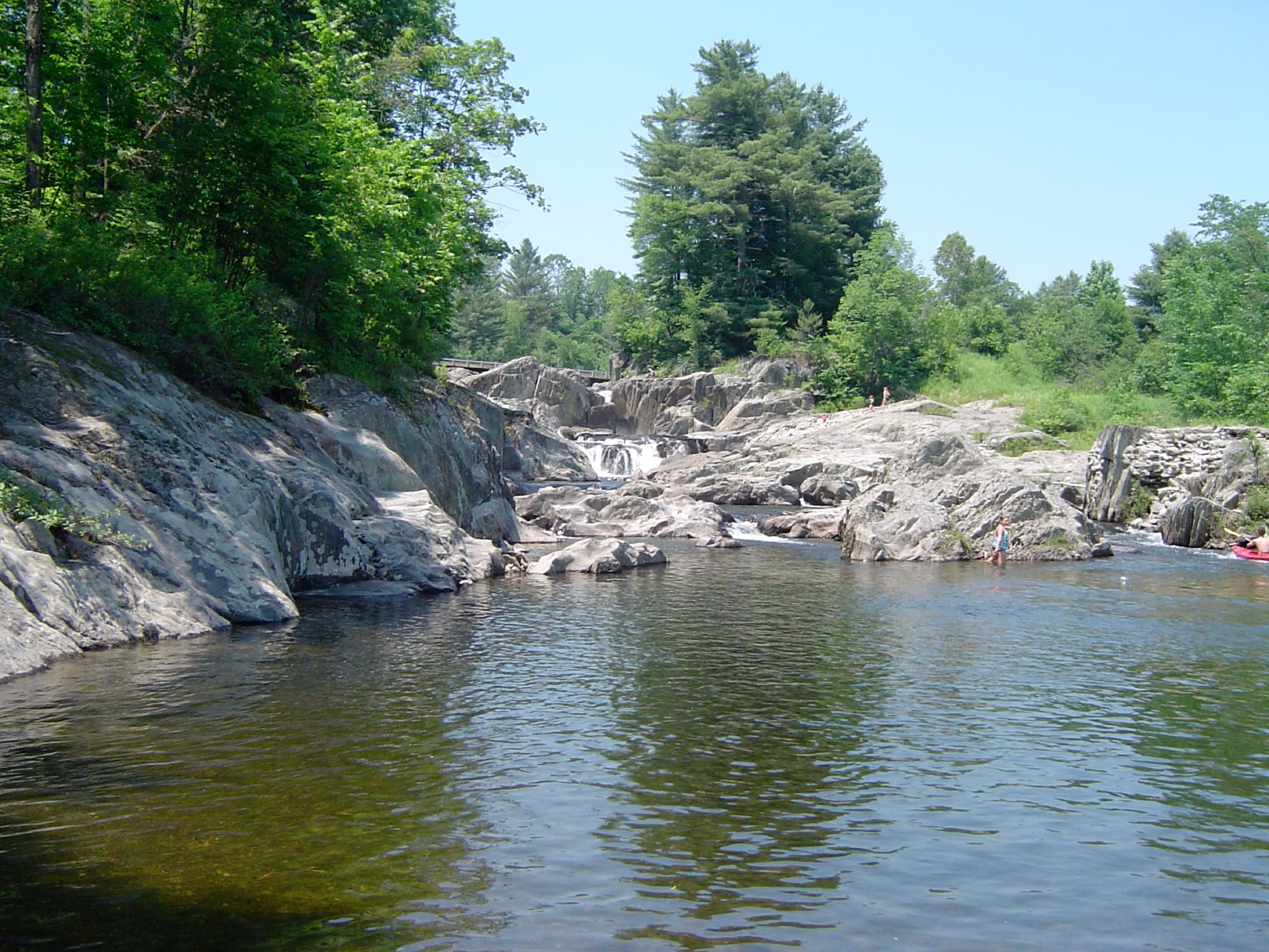
Route 100 gorge context — Moss Glen and Texas Falls
Moss Glen Falls in Granville Gulf is the classic pull-off-and-walk reward on Route 100, with dramatic mossy ledges and honest language about slick footing near the base.
Texas Falls near Hancock is intentionally different: a developed picnic loop and gorge viewing with no swimming messaging. It still belongs on a Montpelier-area map because foliage-weekend loops often combine capital errands with eastward GMNF time. Keep the roles clear so nobody packs swim goggles for a viewing trail.
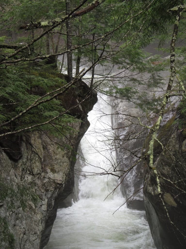
Warren Falls — Mad River half-day add-on
Warren Falls is farther south on VT-100, but it is the Mad River stop people mean when they say “we’ll swim after lunch.” Expect roadside crowding, uneven parking ethics, and very cold water under warm air.
If the falls corridor feels like a festival parking lot, pivot north again to Wrightsville or east to the Middlebury & New Haven River planner rather than forcing a stressed visit.
One honest paragraph about Huntington Gorge
Huntington Gorge near Richmond is not on this map pin list because it deserves its own full read. It is famous, beautiful, and hazard-first in our notes. If your group is chasing gorge drama, open the dedicated Huntington Gorge guide separately and treat any water entry as a serious risk decision, not a social default.
Related guides
- Waterfalls & Swimming Holes Near Middlebury, Bristol & the New Haven River — when your central Vermont day drifts west toward Addison County instead of east toward Hancock.
- Waterfalls & Swimming Holes Near Woodstock & Quechee — Upper Valley pairing when Route 100 time turns into an overnight.
Updated June 1, 2026